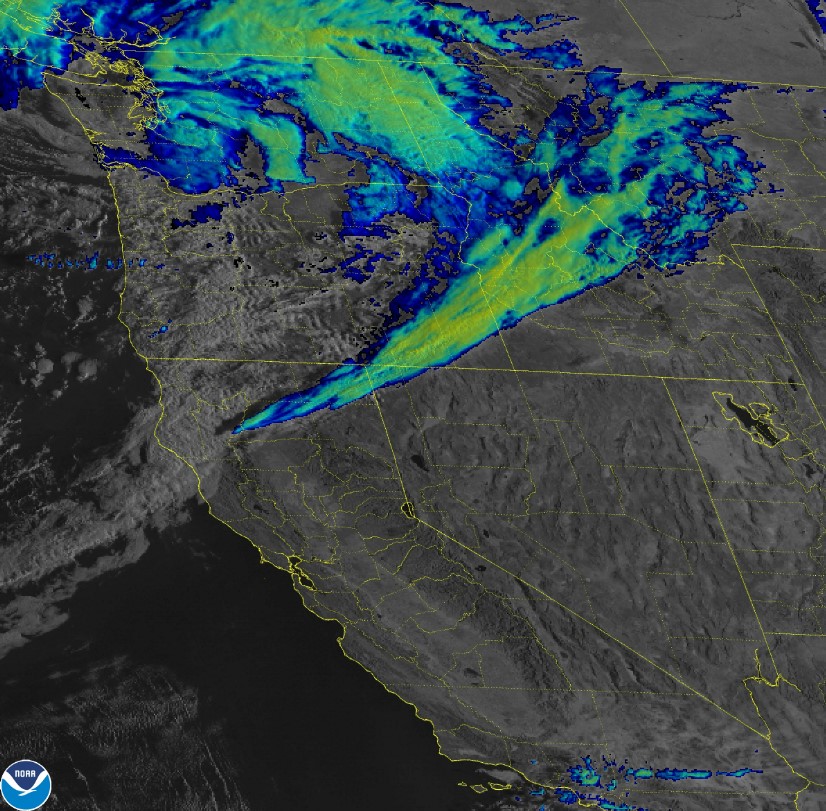
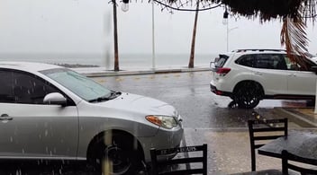
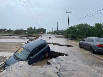
A strong, low-pressure system helped usher in early season rainfall to much of the Pacific Northwest and Northern California, according to the National Weather Service. High winds and up to eight inches of rain are predicted as a “Bomb Cyclone” and “Atmospheric River” are teaming up to hammer the region.
“Moderate to locally heavy rainfall is spreading inland along a cold front that is expected to impact areas of Oregon and Washington, the same areas, that have been experiencing drought conditions,” according to NOAA reports. Flooding and debris in runoff are both big concerns. Add in red flag warnings with high winds and you have the chance for flooding, downed trees, and power outages.
Another round of locally heavy rain embedded within continuous rounds of scattered showers is forecast to enter the region late Tuesday night and into Wednesday. One area where too much rain could lead to localized flooding concerns is across Southwest Oregon and Northern California. This is due to recent burn scars in the area that are unable to retain heavy rainfall, potentially leading to debris flows.
“We've got significant rain to come, I mean, easily 3 to 5 inches, up to 8 inches in higher elevations," FOX Weather meteorologist Jane Minar said.
"We're not going to say the s-word this go around,” added Minar. “It's just a bit too warm. "We do expect that it's going to be all rain even up into the higher elevations of the Cascades. It is more of a rain event that it is a snow event.

The meteorologist also added, this low-pressure system will open the door and begin to send a series of storms into the region, bringing multiple rounds of rain this week. Red flag warnings with strong winds will add to the storms.
At the time of this writing, 10,000 folks were already without power in Washington State. Most outages are being seen in Lewis and Grant counties.
For West Coasters, this series of storms looks like something you get during an El Nino year. And yes, El Nino is affected by warmer ocean temperatures which typically results in extra wet winters in Washington, Oregon and California.
El Nino is anticipated to continue through the Northern Hemisphere winter, with greater than a 95% chance of the condition continuing through January and into March 2024, according to the NWS’s Climate Prediction Center (Sept. 14, 2023).
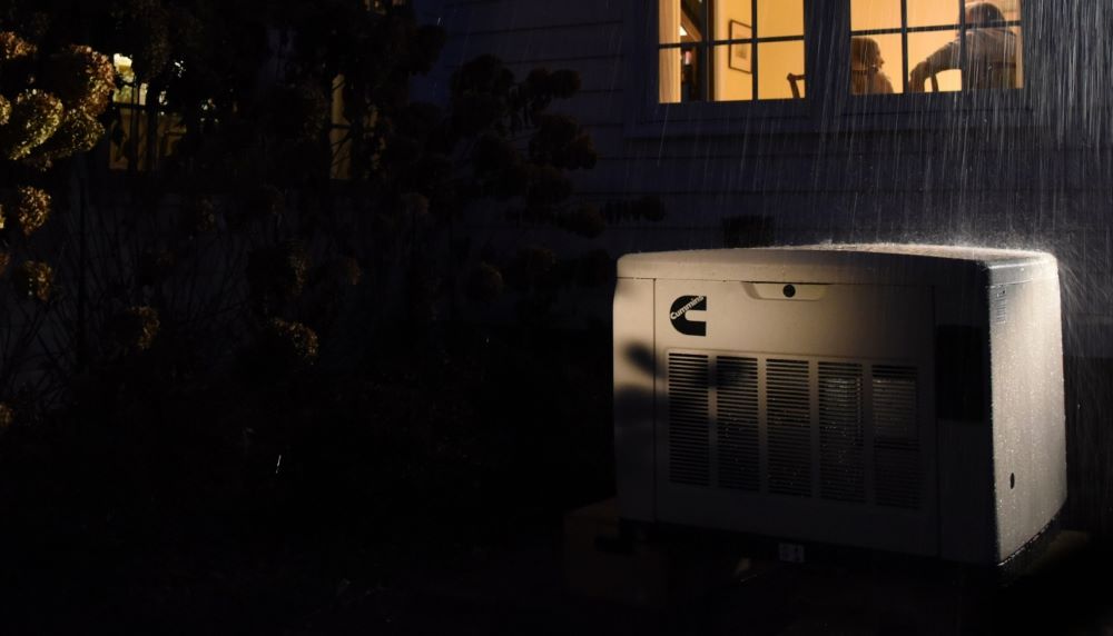
In looking at the long-range forecast, the Pacific Northwest is predicted to see three rounds of rain in the next 14 days. Be prepared for a long winter and get standby power for your home today. See what we offer here.

RELATED POSTS
Proin auctor nibh vitae urna lobortis, in vulputate erat facilisis. Sed lacinia lorem eget orci finibus, et maximus nisi sagittis.
.jpg?width=352&name=dave-llEjCH71E9o-unsplash%20(Custom).jpg)
Thunderstorms Cause Deaths, Power Outages for 600K In South, East Coast
Two people have died, and hundreds of thousands of customers were without power across several states as severe storms hammered the East Coast and...
Read more »
Hilary Drenching Baja, Heading to SoCal
Category 4 Hurricane Hilary is already drenching the Baja Peninsula as it makes it way north to SoCal. Warm ocean teams thanks to El Nino are...
Read more »
MX Storms Norma & Otis Hit Baja, Acapulco
Last week Hurricane Norma blew across the Baja Peninsula creating havoc in Cabo San Lucas and areas like the East Cape and La Paz on the typically...
Read more »
